
Service Overview
Project Planning
Satisfied Service
Dedicated Team
Benefits of Service
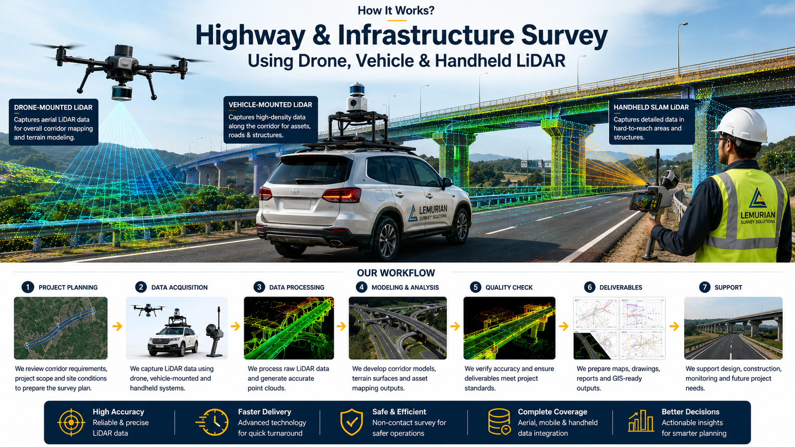
We provide SLAM LiDAR survey, drone mapping, vehicle-mounted LiDAR survey, topographic survey, road corridor mapping, bridge and flyover survey, railway/metro corridor survey, utility mapping and GIS-ready survey outputs.
We use advanced SLAM LiDAR scanners, drones, vehicle-mounted LiDAR systems, GPS/GNSS, mapping software and GIS processing tools based on the project requirement and site condition.
Based on the project scope, we can provide 3D point cloud data, orthophoto maps, contour maps, digital elevation model, topographic drawings, road alignment data, cross-section details, GIS data and survey reports.
LiDAR helps capture accurate 3D data quickly across long corridors, bridges, flyovers, road edges, terrain, utilities and surrounding structures. It reduces field time, improves safety and supports better design and planning.
How It Works?