
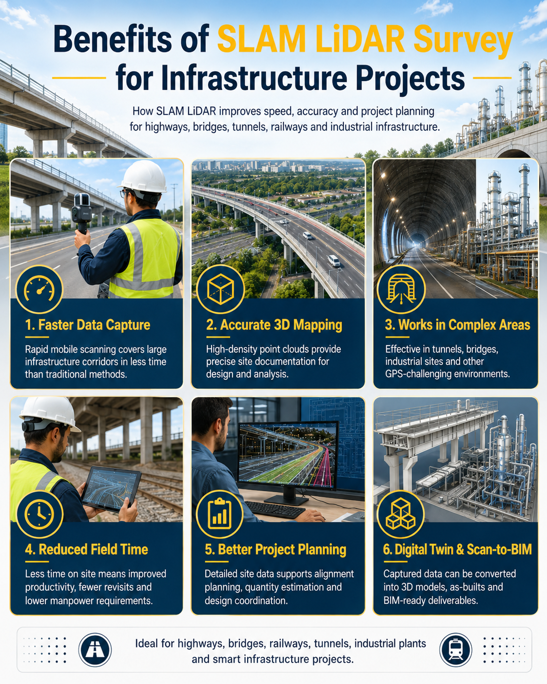
SLAM LiDAR survey is transforming infrastructure projects by enabling fast, accurate and detailed 3D site documentation. It helps engineers, planners and project teams capture reliable data for highways, bridges, tunnels, railways and industrial infrastructure with greater speed and efficiency.
“Fast data capture. Accurate 3D mapping. Smarter infrastructure planning.”
Unlike traditional survey methods, SLAM LiDAR allows rapid mobile scanning while moving through the site. This makes it highly useful for large infrastructure corridors, busy construction zones and GPS-challenging areas. The captured data supports topographic mapping, design verification, as-built documentation, digital twin creation and better decision-making throughout the project lifecycle.

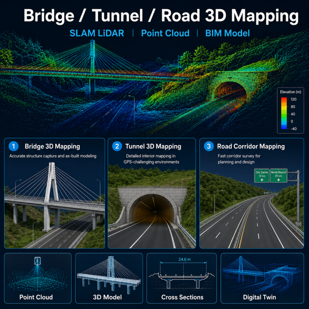
Benefits of SLAM LiDAR Survey for Infrastructure Projects
- Faster data capture across large project corridors
- Accurate 3D mapping for design and planning
- Effective in highways, bridges, tunnels and complex environments
- Reduced field time and improved survey efficiency
- Better project planning with reliable point cloud data
From highways and bridges to tunnels and industrial corridors, SLAM LiDAR provides the speed, precision and site intelligence needed for modern infrastructure projects. It helps reduce rework, improve planning and deliver better survey outcomes for design, construction and asset management teams.