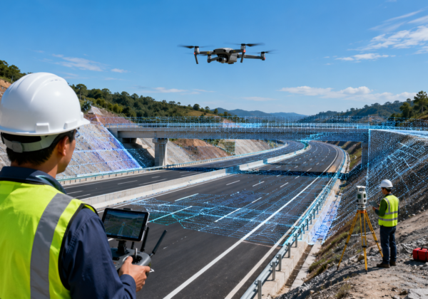
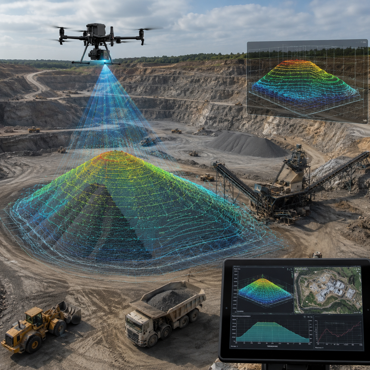
Mining and quarry operations require accurate and up-to-date site information for planning, monitoring and decision-making. Drone survey and LiDAR technology help capture detailed terrain data, stockpile volumes, haul roads, benches and excavation areas quickly and efficiently.
Accurate terrain data. Smarter quarry planning. Faster survey results.
— Lemurian Survey Solutions
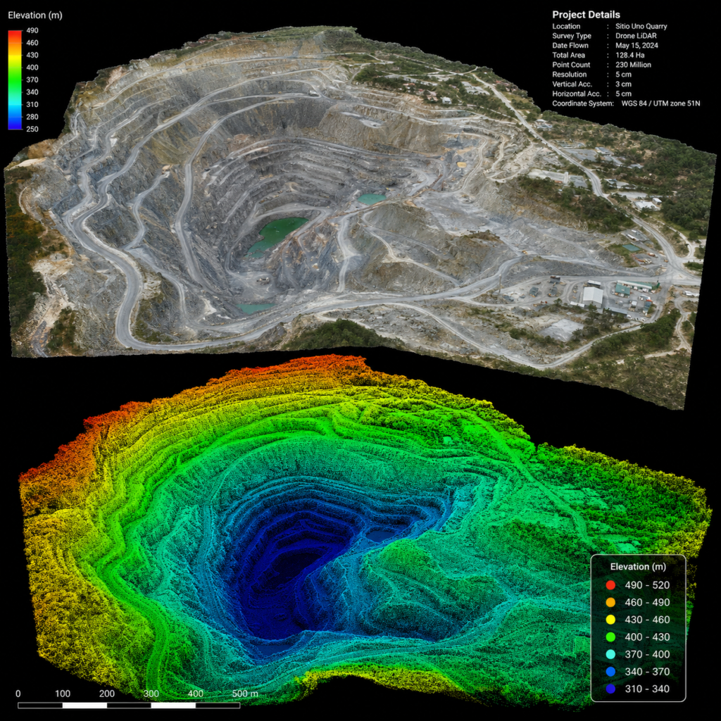
Using drones and LiDAR, survey teams can map large quarry and mining areas with high accuracy while reducing field time and improving safety. The captured data can be processed into orthophotos, contour maps, digital elevation models, 3D surface models and volume calculations for better project control and operational planning.
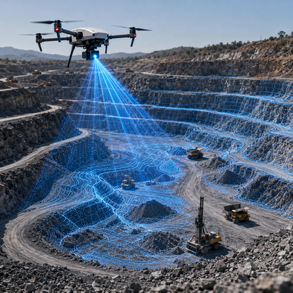
Key Benefits of Mining and Quarry Survey Using Drone and LiDAR
- Fast mapping of mining and quarry areas
- Accurate stockpile volume and cut/fill measurements
- Better planning of benches, haul roads and excavation zones
- Reduced field risk in difficult and uneven terrain
- Reliable outputs for planning, monitoring and reporting
Drone and LiDAR survey solutions provide mining and quarry operators with accurate geospatial data for production monitoring, landform analysis, inventory management and site development. These technologies help improve efficiency, reduce rework and support safer, data-driven operations.