

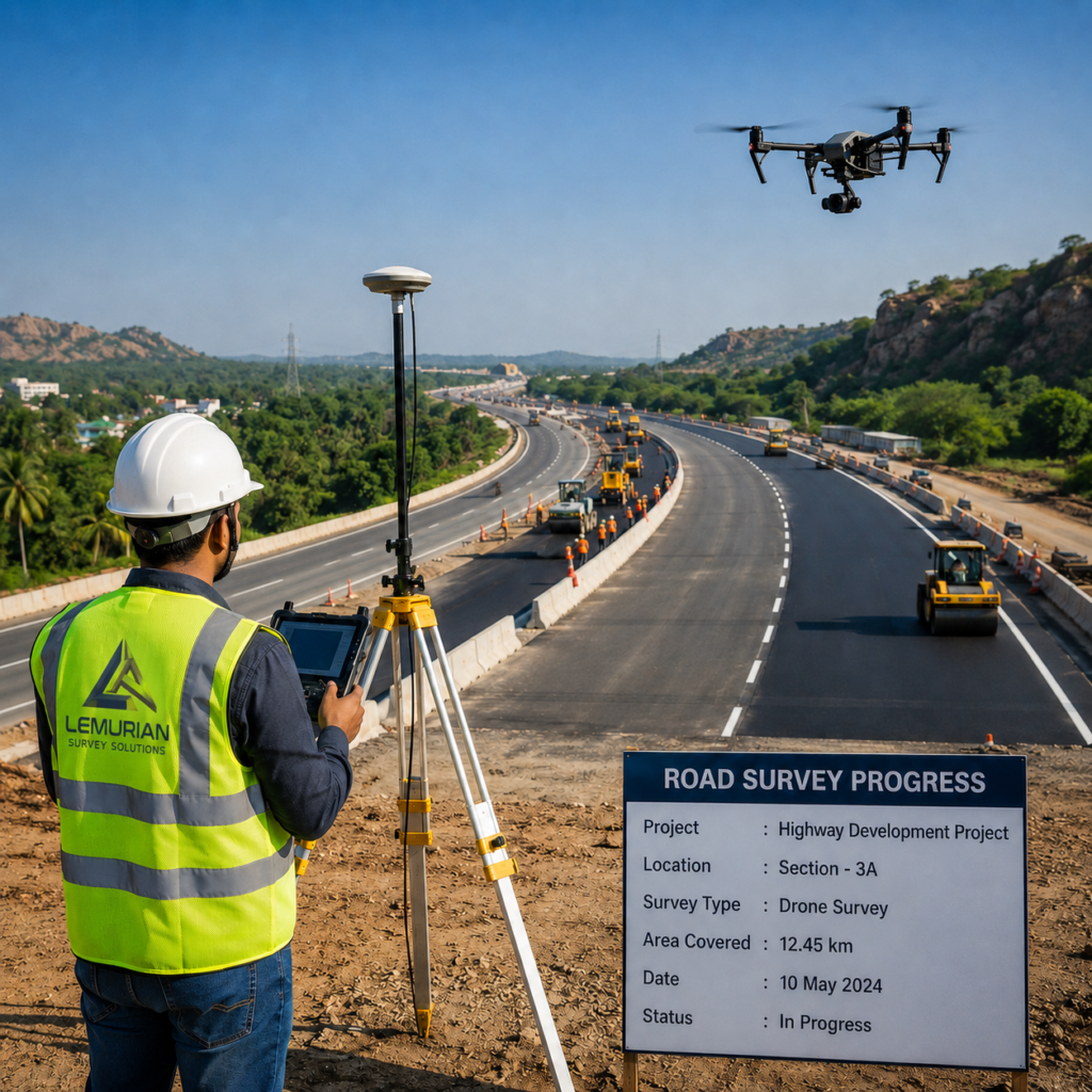
Drone survey technology is transforming highway and road mapping by enabling fast, accurate and efficient aerial data collection. It helps engineers, planners and project teams capture detailed site information for new road projects, highway expansions, bypass roads and infrastructure corridor development. packages and web page editors now use Lorem Ipsum as their default model text, and a search for ‘lorem ipsum’ will uncover many web sites still in their infancy.
“Faster aerial data capture. Accurate corridor mapping. Smarter highway planning.”
— Lemurian Survey Solutions
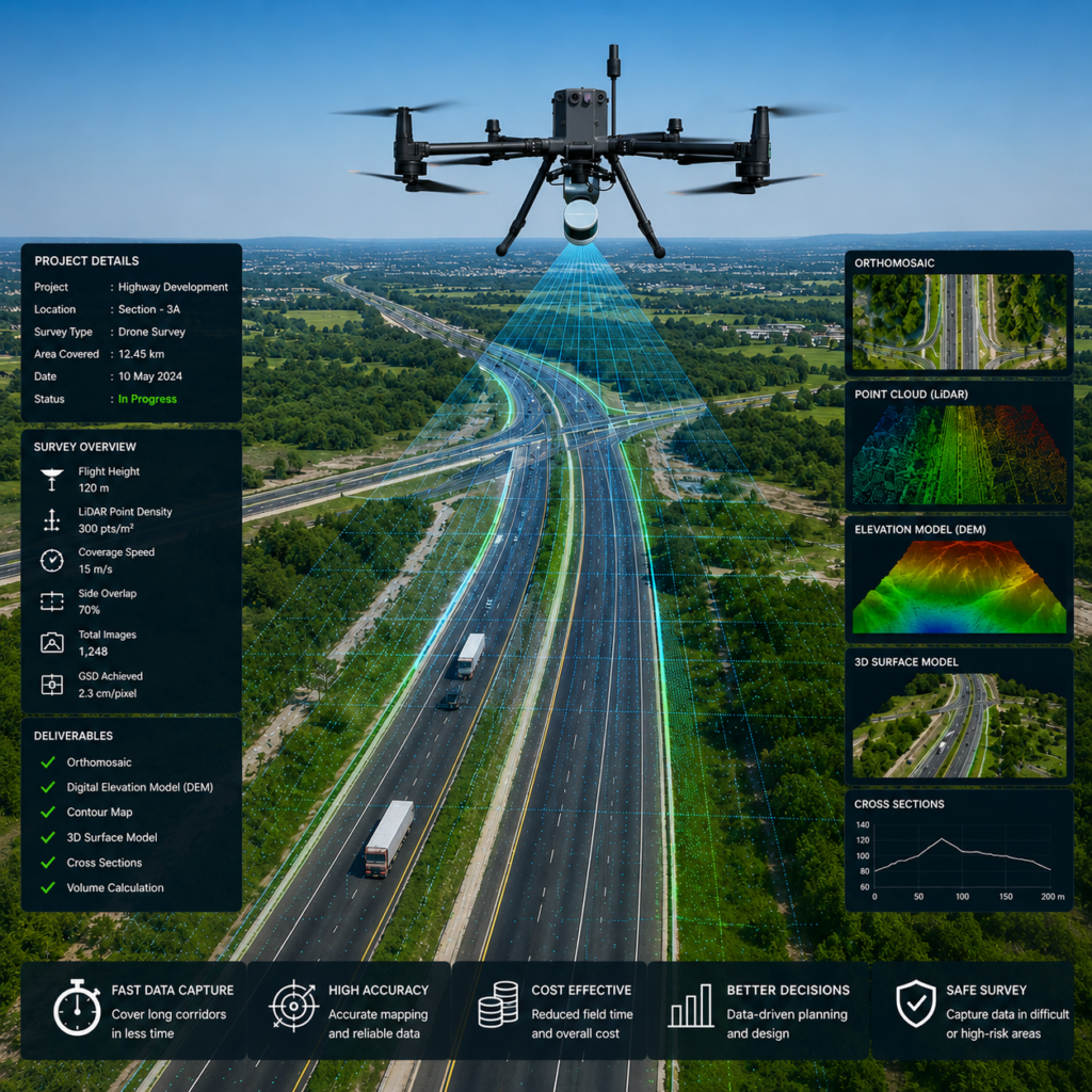
Using drones, survey teams can quickly map long road stretches, bridges, embankments, junctions and surrounding terrain with high accuracy. The captured data can be processed into orthophotos, contour maps, digital elevation models and 3D surface models, supporting better planning, design and execution of transportation infrastructure projects.
Key Benefits of Drone Survey for Highway and Road Mapping
- Rapid survey of long highway corridors
- Accurate mapping of terrain, slopes and road features
- Better planning for bridges, junctions and drainage
- Safe data collection in busy or difficult locations
- High-quality outputs for design, monitoring and reporting
From route alignment and topographic survey to road widening and project monitoring, drone survey provides a modern solution for highway and road mapping. It reduces field effort, improves safety and delivers reliable geospatial data for infrastructure planning, design and construction..