


Head-Operations

Head – Drone & LiDAR Survey Operations

Head – Renewable Energy Division

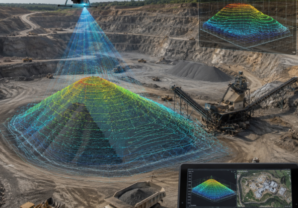
Lemurian Survey Solutions delivered accurate drone and LiDAR survey data for our project within a short timeline. Their 3D mapping, point cloud output, and professional field support helped us complete planning and measurements with better confidence.
Project Manager
- Infrastructure Project Consultant
Their drone and SLAM LiDAR survey helped us capture road levels, site conditions, and mapping data quickly. The team delivered professional outputs with good accuracy and faster turnaround.
Highway Project Engineer
- Highway Project Engineer
The team delivered drone-based inspection and mapping support for our solar site. Their technical approach, safety practices, and clear reporting made the project easier to manage.