SLAM LiDAR Drone Survey & Mapping

Service Overview

Lemurian Survey Solutions provides advanced SLAM LiDAR, drone survey and 3D mapping services for industrial plants, mining sites, highways, railways, utilities, renewable energy projects and infrastructure development. We help clients capture accurate site data, create 3D point clouds, prepare topographic maps and support planning, design, inspection and project execution.  

Project Planning

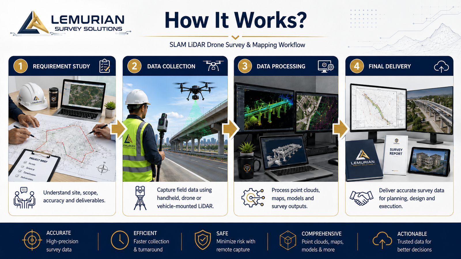
We study the project area, site condition, accuracy requirement, survey method and final deliverables before starting the work. Based on the project needs, we plan the right workflow using SLAM LiDAR, drone mapping, vehicle-mounted LiDAR, GPS/GNSS and GIS processing tools.

Satisfied Service

We focus on delivering accurate, clean and useful survey outputs as per client requirements. Our deliverables may include 3D point cloud data, orthophoto maps, contour maps, DEM, topographic drawings, GIS data, digital twin inputs and professional survey reports.

Dedicated Team

Our experienced team uses modern LiDAR, drone and mapping technologies to complete survey work faster, safer and more accurately. From field data collection to final output preparation, Lemurian Survey Solutions provides reliable support for industrial, infrastructure and government projects.

Benefits of Service

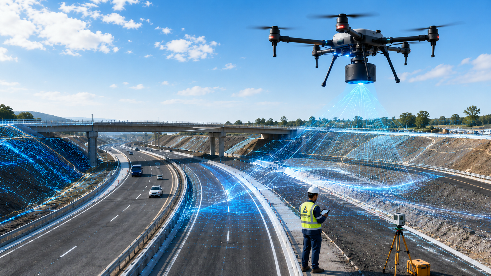
SLAM LiDAR Drone Survey & Mapping is an advanced survey method used to capture accurate 3D site data, point cloud data, terrain details and mapping outputs using SLAM LiDAR, drones and mapping software.

We can support industrial plants, mining sites, highways, railways, construction sites, power utilities, solar plants, wind energy projects, smart city projects and infrastructure development works.

Based on the project scope, we can provide 3D point cloud data, orthophoto maps, contour maps, digital elevation model, topographic drawings, GIS data, digital twin inputs and survey reports.

SLAM LiDAR and drone survey reduce field time, improve safety, capture large areas quickly and provide accurate digital data for planning, design, inspection, construction and project monitoring.

How It Works?