Service Overview
Project Planning
Quality-Assured Service
Dedicated Team
Benefits of Service
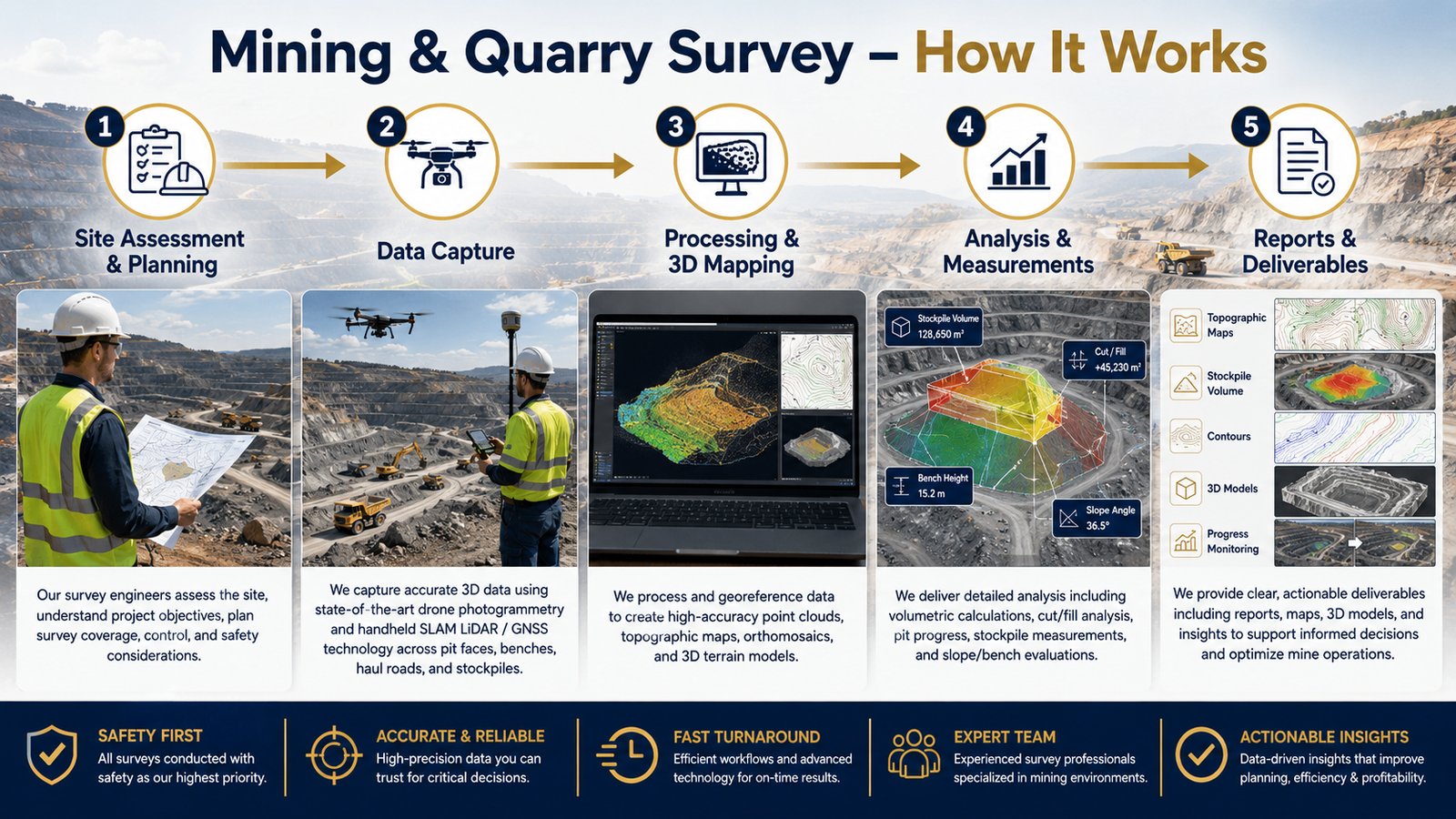
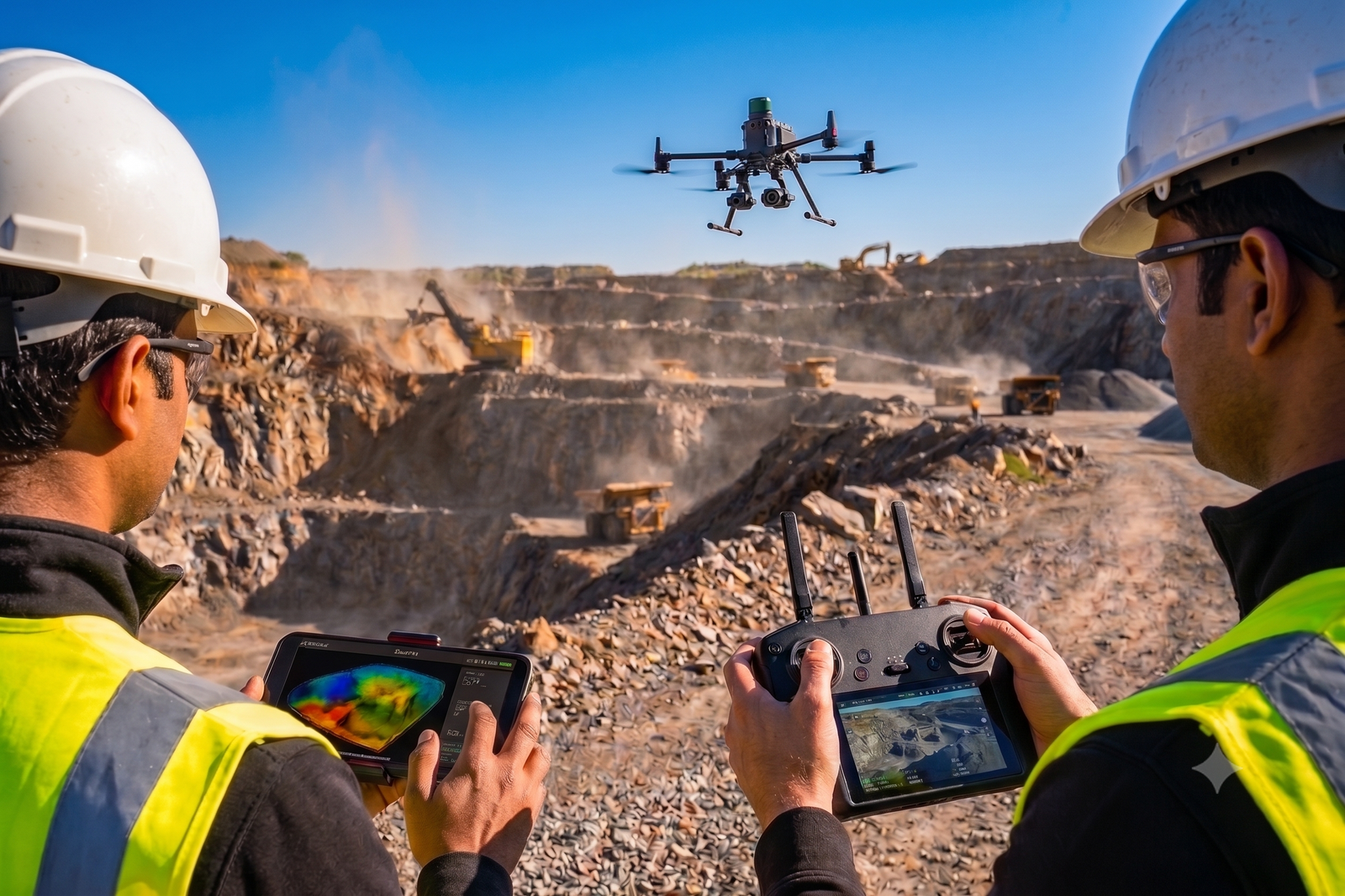
Mining and quarry survey helps you understand the complete site condition, including pit levels, stockpile quantity, haul roads, benches, slopes and excavation areas. This supports better planning, production monitoring and decision-making.
Yes. We provide accurate stockpile volume calculation using drone mapping, LiDAR point cloud data and advanced processing software. This helps clients track material quantity, production and inventory.
Yes. We provide accurate stockpile volume calculation using drone mapping, LiDAR point cloud data and advanced processing software. This helps clients track material quantity, production and inventory.
We can provide orthophoto maps, contour maps, DEM/DSM, 3D point clouds, stockpile volume reports, quarry layout maps, cross-sections, CAD drawings and GIS-ready outputs based on your requirement.
How It Works?