

Drone survey technology is transforming highway and road mapping by enabling fast, accurate and efficient aerial data collection. It helps engineers, planners and project teams capture detailed site information for new road projects, highway expansions, bypass roads and infrastructure corridor development. packages and web page editors now use Lorem Ipsum as their default model text, […]
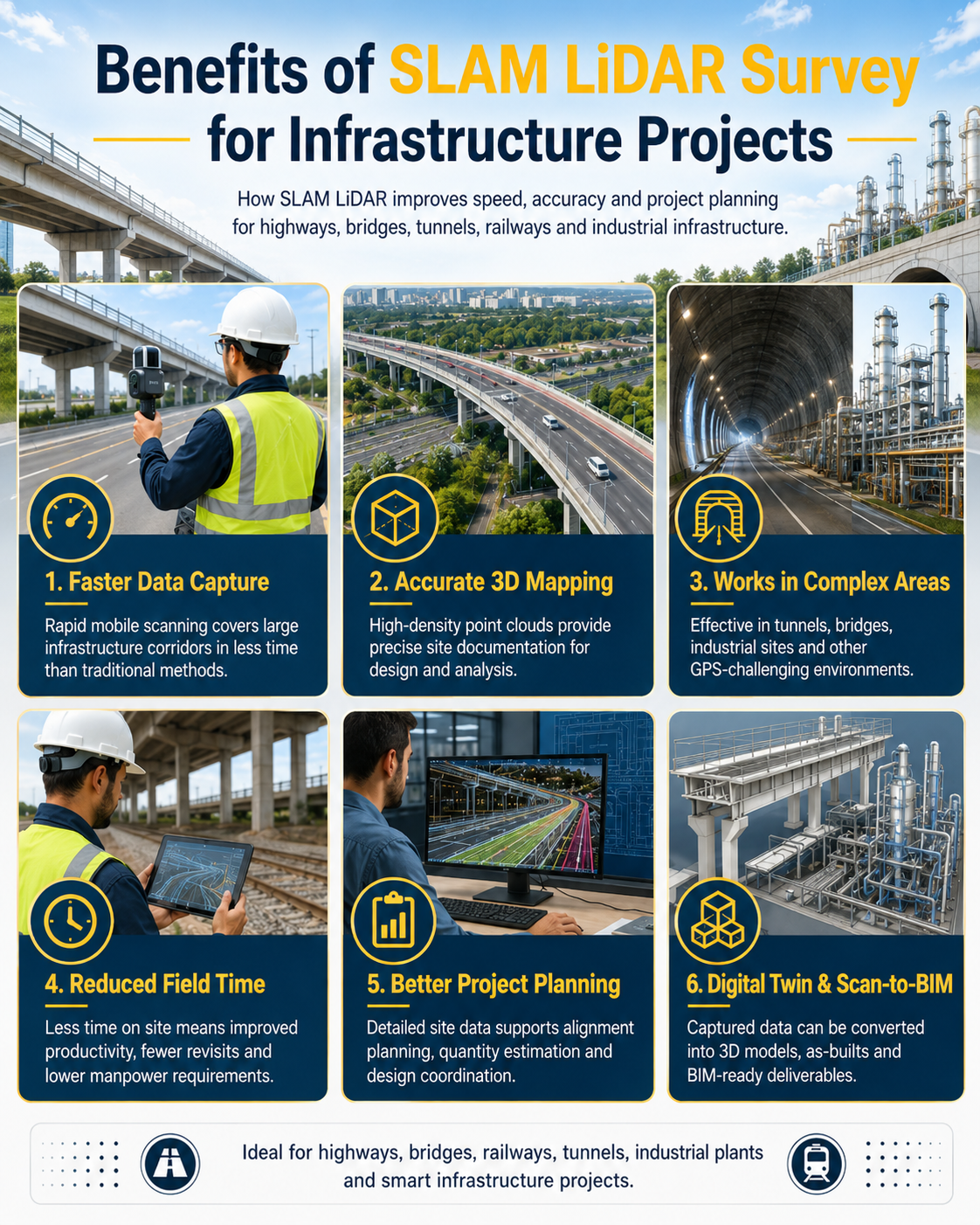
Benefits of SLAM LiDAR Survey for Infrastructure Projects
SLAM LiDAR survey is transforming infrastructure projects by enabling fast, accurate and detailed 3D site documentation. It helps engineers, planners and project teams capture reliable data for highways, bridges, tunnels, railways and industrial infrastructure with greater speed and efficiency. “Fast data capture. Accurate 3D mapping. Smarter infrastructure planning.” Unlike traditional survey methods, SLAM LiDAR allows […]