Mining & Quarry Survey

Service Overview

Lemurian Survey Solutions provides professional Mining & Quarry Survey services using advanced Drone Mapping, SLAM LiDAR, GNSS and 3D mapping technologies. We help mining and quarry operators capture accurate terrain data, stockpile volumes, pit conditions, haul roads, benches, slopes and site layouts for better planning, monitoring and operational control.

Project Planning

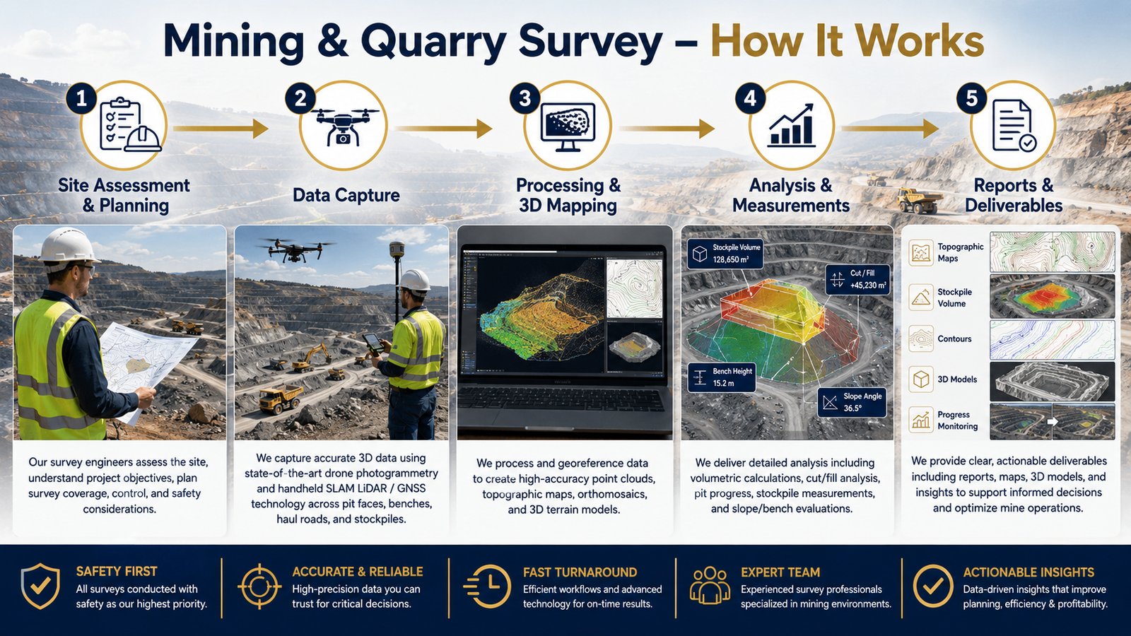
Before starting the survey, our team studies the mining site, quarry layout, safety conditions, access routes, required accuracy and client deliverables. Based on the project requirement, we plan the drone flight, SLAM LiDAR scanning route, ground control points and data collection workflow to ensure complete site coverage and reliable results.

Quality-Assured Service

Every survey output is processed with proper quality checks to ensure accurate measurements and dependable mapping data. We validate point clouds, orthophotos, contours, elevation models and volume calculations before delivering the final results to the client.

Dedicated Team

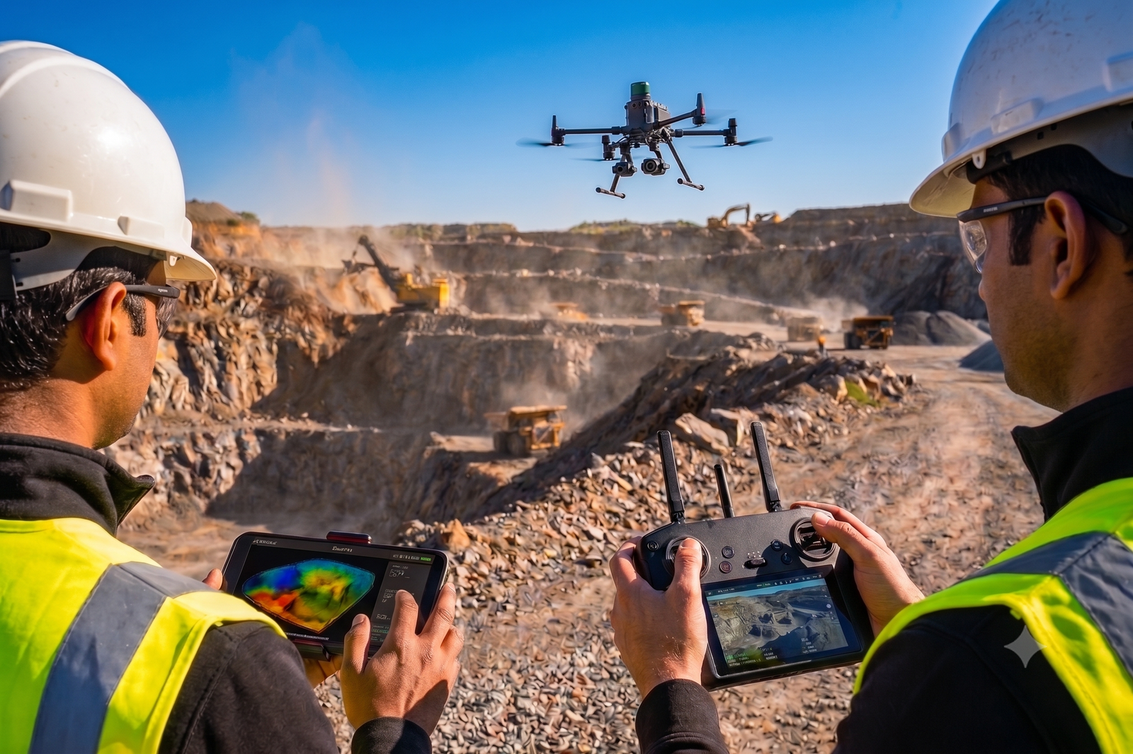
Our experienced drone pilots, LiDAR operators, survey engineers and CAD/GIS specialists work together to deliver accurate mining and quarry survey outputs. From field data capture to final report preparation, our team ensures safety, accuracy and timely project completion.

Benefits of Service

Mining and quarry survey helps you understand the complete site condition, including pit levels, stockpile quantity, haul roads, benches, slopes and excavation areas. This supports better planning, production monitoring and decision-making.

Yes. We provide accurate stockpile volume calculation using drone mapping, LiDAR point cloud data and advanced processing software. This helps clients track material quantity, production and inventory.

Yes. We provide accurate stockpile volume calculation using drone mapping, LiDAR point cloud data and advanced processing software. This helps clients track material quantity, production and inventory.

We can provide orthophoto maps, contour maps, DEM/DSM, 3D point clouds, stockpile volume reports, quarry layout maps, cross-sections, CAD drawings and GIS-ready outputs based on your requirement.

How It Works?