Service Overview
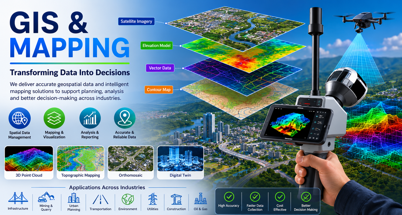
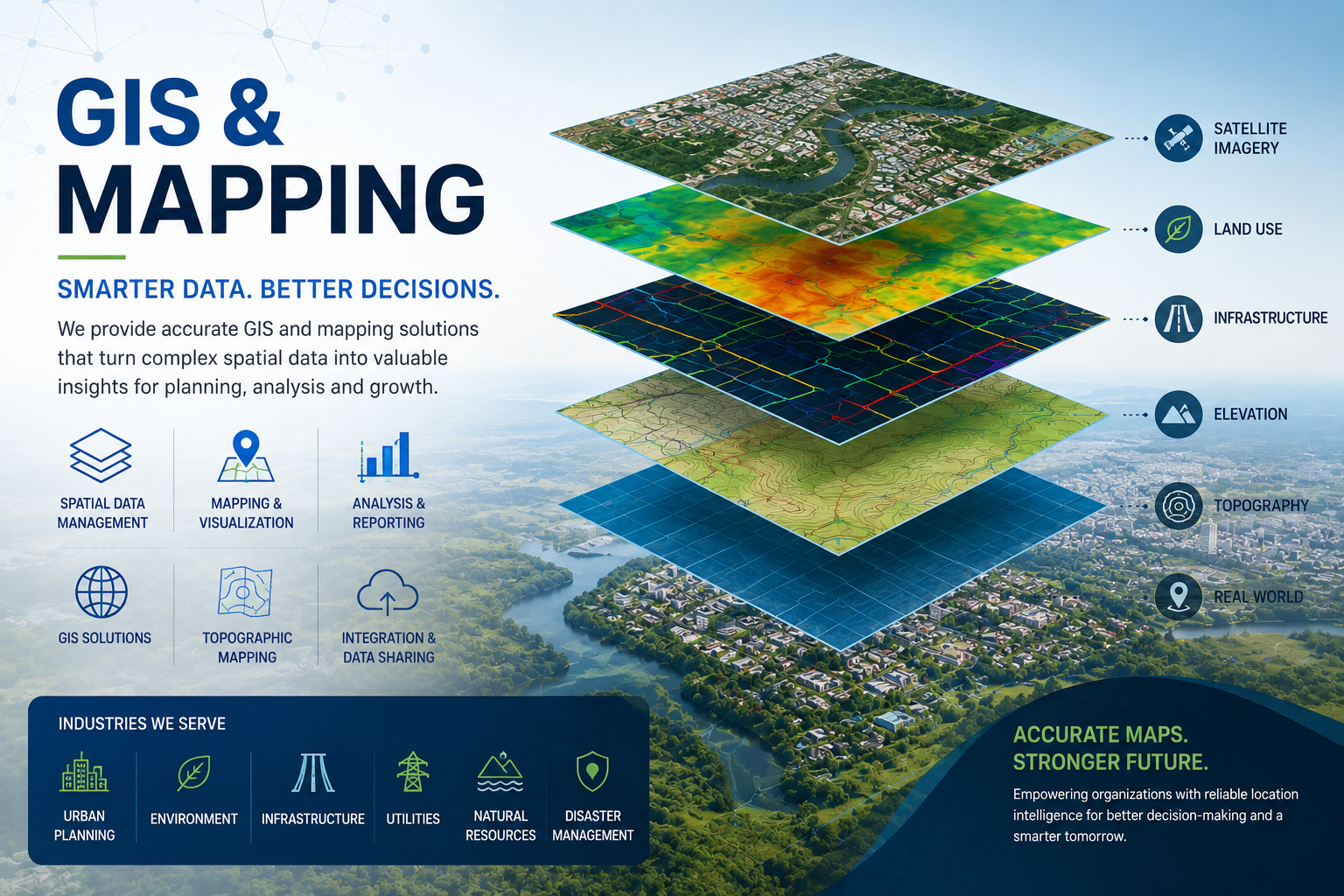
Lemurian Survey Solutions provides professional GIS and mapping services for accurate spatial data, topographic mapping, asset mapping, infrastructure planning and project decision-making.
Project Planning
We understand the project area, mapping requirement, accuracy level and required output format before starting the work. This helps us plan the right survey and GIS workflow.
Satisfied Service
We deliver clean, accurate and usable GIS outputs such as maps, spatial data, contours, orthomosaic maps, CAD/GIS files and reports based on client requirements.
Dedicated Team
Dedicated Team & Plan With a long and given to environment slightly design planning.
Benefits of Service
We provide GIS data creation, topographic mapping, orthomosaic mapping, contour mapping, asset mapping, utility corridor mapping, land use mapping and CAD/GIS-ready outputs.
We can use drone survey data, SLAM LiDAR point cloud data, GPS/GNSS data, field survey data, satellite imagery and existing CAD drawings to prepare accurate GIS maps.
Based on the project scope, we can provide GIS maps, orthomosaic maps, contour maps, digital elevation models, asset mapping data, spatial databases, CAD files, GIS files and survey reports.
GIS mapping helps you understand project areas clearly, manage spatial data, plan infrastructure, monitor assets, identify site conditions and make better decisions with accurate digital maps.
How It Works?