
Service Overview
Project Planning
Satisfied Service
Dedicated Team
Benefits of Service
There are many variations of passages of Lorem Ipsum available, but the majority have suffered alteration.
Topographic survey helps you understand the complete site condition, including ground levels, contours, roads, buildings, drains, utilities, trees and existing structures. This data supports accurate planning, design, estimation and construction execution.
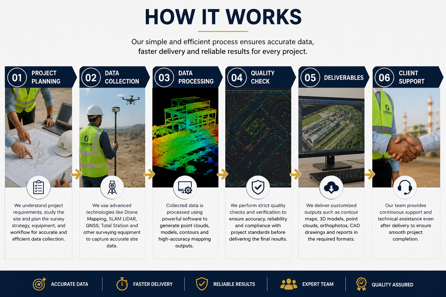
We use advanced survey technologies such as Drone Mapping, SLAM LiDAR, GNSS/DGPS, Total Station, 3D Point Cloud Processing, CAD and GIS software based on the project requirement and accuracy needs.
We can provide contour maps, topographic drawings, orthophoto maps, DEM/DSM, 3D point clouds, CAD drawings, elevation data, site layout maps and GIS-ready outputs as per the client’s project scope.
This service is useful for highways, railways, industrial plants, mining, construction, real estate, solar farms, government planning, smart city projects and infrastructure development.
How It Works?