
Service Overview
Lemurian Survey Solutions provides Digital Twin and Scan-to-BIM services by converting real site conditions into accurate 3D models, point cloud data and BIM-ready outputs for planning, design, maintenance and facility management.
Project Planning
We understand the project area, required model detail, accuracy level, output format and client requirement before starting the scan. This helps us plan the right SLAM LiDAR scanning and BIM workflow.
Satisfied Service
We deliver clean and reliable outputs such as 3D point cloud data, BIM models, as-built documentation, digital twin data, drawings and inspection-ready reports based on project needs.
Dedicated Team
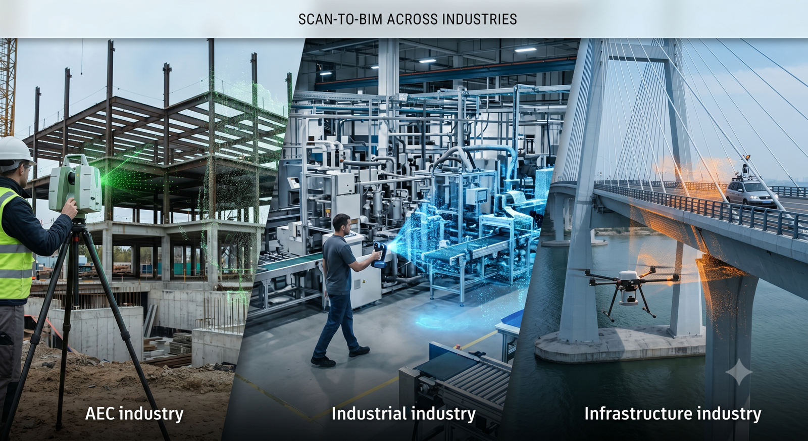
Our team uses SLAM LiDAR, 3D scanning, point cloud processing and BIM tools to create accurate digital models for factories, industrial plants, buildings, utilities and infrastructure projects.
Benefits of Service
Digital Twin and Scan-to-BIM is the process of capturing real site conditions using SLAM LiDAR or 3D scanning and converting the data into accurate 3D models, BIM files and digital documentation.
We can scan industrial plants, factories, buildings, warehouses, utilities, mechanical areas, infrastructure sites, renovation projects and existing facilities.
Based on the project scope, we can provide 3D point cloud data, as-built BIM models, Revit-ready models, CAD drawings, floor plans, elevation drawings, digital twin data and inspection reports.
Scan-to-BIM helps improve planning, design coordination, renovation work, clash checking, facility management and maintenance by providing accurate digital records of existing site conditions.
How It Works?